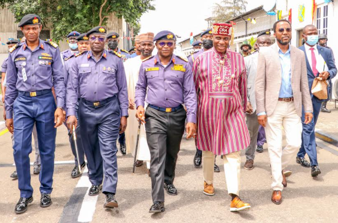
The Nigerian Navy has commenced survey of the nation’s offshore waters, 200 years after relying on the United Kingdom’s navigation charts used by mariners.
The newly acquired navy hydrographic ship NNS LANA was deployed for the exercise.
Speaking at the flag off ceremony of the event held on the parade ground of the NNS Beecroft, Apapa, Lagos on Tuesday, the Minister of Transportation, Rotimi Amaechi, said the indigenous offshore survey and charts would generate up to two million direct and indirect jobs.
He explained that the exercise would not only benefit the Ministry of Transportation, but would also guarantee the safety of vessels.
“As this vessel commences the survey of Nigeria’s offshore today, it is expected that it would provide the necessary enablers to support the Federal Government’s Presidential Economic Diversification initiative through improved maritime security, maritime trade and transport, as well as improved economic prosperity of Nigerian citizens.
“Accordingly, this survey ship, in conjunction with similar vessels to be acquired by the Federal Government, would in a few years from now, completely survey Nigeria’s offshore waters and produce accompanying indigenous nautical charts and publications to facilitate improved maritime shipping, security and economic development in Nigeria,” he said.
The Minister noted that Nigeria’s offshore and coastal waters cover a total area of about 84,000 square nautical miles and about 85% of Nigeria’s import and export trades are transported through the maritime domain.
“It is also expected that at the end of this survey and charting campaign, up to date indigenous nautical products would be available to facilitate a smooth takeoff of the new deep seaports that are under construction in various parts of our offshore areas.
“Additionally, completion of this survey and charting operation would equally boost confidence of most mariners to increase patronage of Lagos, Port Harcourt and Calabar ports, just as the Warri, Sapele and other ports that are hitherto operating at lowest level would be reactivated.
“This would provide well over two million direct and indirect jobs, increase economic viability of these ports, and ultimately decongest Lagos traffic, as well as reduce pressure on our roads; and more cargo ships would call at the nearest ports to the final destination of the goods and services onboard,” he added.
Earlier in his remarks, Chief of Naval Staff, Vice Admiral Awwal Gambo, disclosed that the first attempt to conduct a systematic hydrographic survey of Nigeria’s offshore waters was in the 19th century during British colonial rule when the United Kingdom hydrographic office survey produced charts for navigation.
“The implication of this is that in the next few years, indigenously produced updated nautical charts and publications will be available for mariners use within Nigerian waters. This would not only replace old admiralty charts currently used, it would also lead to the increase of safety within our waters, and boost confidence of mariners,” Gambo said.
Copyright Ships & Ports Ltd. Permission to use quotations from this article is granted subject to appropriate credit given to www.shipsandports.com.ng as the source.